Welcome back to our weekly spotlight on helpful apps. We focus on a variety of products that are useful for work, personal use, or both, providing our own thoughts on the apps and what you can do with them. This week’s spotlight: Citymapper.
An intro to Citymapper
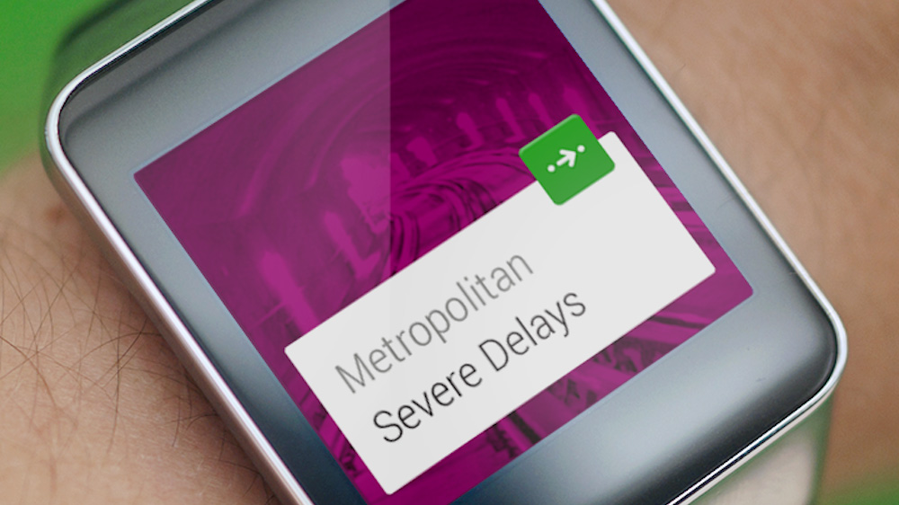
Available for iOS and Android, Citymapper is a satnav with city dwellers in mind. It pulls data from several sources to provide directions for walking, cycling and public transport, as well as estimates on taxi fares. It’s a bit different to built-in maps and Google Maps in that it supplies several route options with real-time updates on delays, including problems on public transport, and even the number of calories you can burn during your journey.
The app works in several major cities around the world, but I’ve even used it as far out of London as Hertford and it still provides detailed information. You can also use it to find nearby train stations, bus stops, cycle hire locations and ferry pick-ups – handy if you’re not familiar with the area and need to know which line the closest stop is on.
You can save your favourite locations, such as home and work, and the app will set up a dashboard called SmartCommute that shows you a live ETA, departure times, disruptions and current weather conditions. This saves you having to input your postcode every time you want to get home or back to the office, as the app is smart enough to pinpoint your location to give you the correct route.
Our review
Even though I’ve lived in London for more than six years, I still get confused as to where I am sometimes. That’s usually the point when I pull out my phone and get Citymapper going. It’s absolutely brilliant if you’re not sure how you’re going to get home if you find yourself at a venue you’ve never been to. I’ve heard many people say that as long as you can find your way to a Tube station in London you can always get home, but sometimes you need a bit of help just getting to the station, which is where Citymapper is a big help – it saves you having to use the Transport for London website to find a map and it’s a bit more helpful than TfL’s Journey Planner.
The best part? The app is totally free, yet it’s not bogged down with adverts. It’s also incredibly simple compared to other satnav apps I’ve used. It’s a classic example of a “plug and play” programme – no confusing tutorials or sitting around pressing buttons in frustration because you can’t figure out how it works. And it’s the most comprehensive app I’ve used, as it pulls data from TfL’s live updates to let you know if the line you need has delays along with alternative routes in real time.
A key feature I really like is the save function. If there’s a journey you make often, or if you know your travels will take you underground, you can save directions to the app’s homepage so you can access it offline. I’ve used it before to save directions if I’m hopping around the city for meetings. You can even send directions straight from the app to other people using WhatsApp, Facebook Messenger, email, or text.
The verdict
This is definitely a must have for people who visit unfamiliar cities frequently, or even those who go to a lot of meetings in new locations. None of the other apps I’ve used have been so all-encompassing and if there’s one thing I hate, it’s having to switch from one app to another and to the web just to plan my journey. At the end of the day, it’s free, so why not give it a try?
Do you have a favourite new app you’d like to review for us? Send it to Deputy Editor Molly Dyson at molly.dyson@palife.co.uk.


